GTA's Drone-Assisted Aerial Survey Program
Delivering quality surveys quickly and reliably
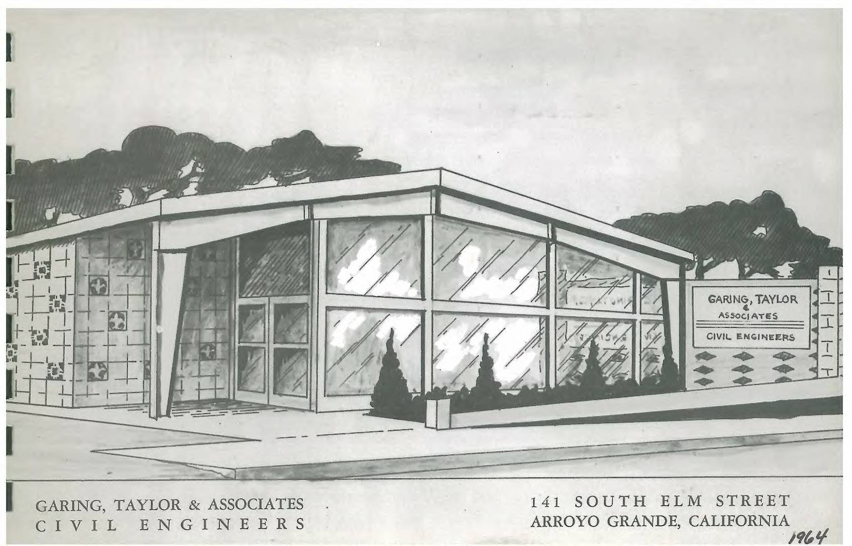
GTA’s survey team generated many (perhaps most) of the maps utilized to define real property in the Five Cities Area, and much of SLO County and northern SB County – as far back as the early 1960s. In fact, GTA’s team provided all the surveying and property acquisition assistance to SLO County for dedication and construction of the Lopez Dam and water supply system!
Prior to a construction project, land surveying involves obtaining precise measurements of horizontal and vertical positions of property monumentation, the shape and contours of the land itself, as well as infrastructure features such as curb, gutter, sidewalk and underground utilities. During construction, surveying includes staking horizontal and vertical position placement of infrastructure, building pads and more – to help the construction team build proposed improvements to the precise measurements given by the design team. High-tech surveying equipment and heavy-duty trigonometry are utilized to create topographic and boundary maps, demonstrating the measurements and general lay of a given piece of land and items of interest on or adjacent to that land.
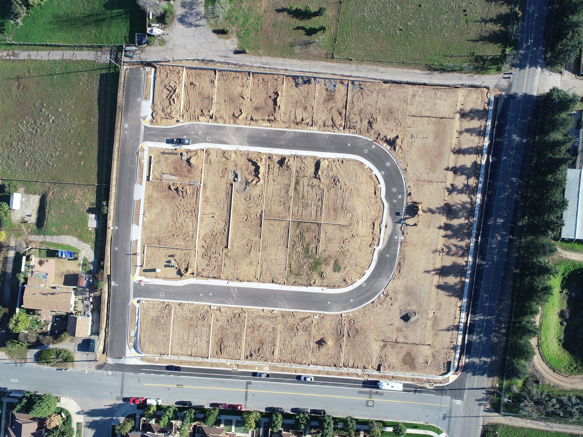
In recent years, drones, or unmanned aerial vehicles (UAVs), have become a valuable tool for surveyors. During a drone survey, our pilots first select a predetermined flight path and altitude for the drone. When the drone deploys, it is on a mission to take many photographs (hundreds or even thousands), aimed at capturing each pixel within the desired mapping area at multiple angles in order to accurately triangulate the position of the pixel. Ground control obtained through conventional survey methods help the survey team tie aerial-obtained horizontal and vertical pixel data to known “targets” in the mapped area.
One drone flight produces thousands of measurements, which can be represented in different formats. Our pilots and survey technicians then take the acquired flight data to the office and process the data through Pix4D, which identifies each pixel in the mapped area in as many of the photos as possible, then calculates its horizontal and vertical position to a precision within the size of a golf-ball (or better), when properly performed.
GTA began our drone program in 2018, and we have found that drones produce quality surveys at little additional cost to our traditional land surveying workflow. Drone aerial surveys can also provide a more complete picture of the work being done versus traditional methods. They fly at lower altitudes than airplanes and may be used in less-than-ideal weather conditions and over rough terrain. Further, drone aerial surveys by GTA offer swift turnaround times because we are not dependent on airplane photography, which can only be obtained in ideal weather conditions.
We use drones for three main purposes:
• Site mapping – topographic and orthomosaic (or orthophoto) maps of a site
• Progress and monitoring of projects – show how the project is proceeding and monitor the construction site, both internally and for client updates
• Marketing – showcasing our work and our client’s projects via video and photo stills
At GTA, we currently have two FAA licensed drone pilots and drones, with plans to add more drones to our fleet in the near future. This is a service many local developers need, and we are able to work swiftly with precision, while sparing the client of potential schedule and budget impacts which may come from traditional methods aerial photogrammetry!